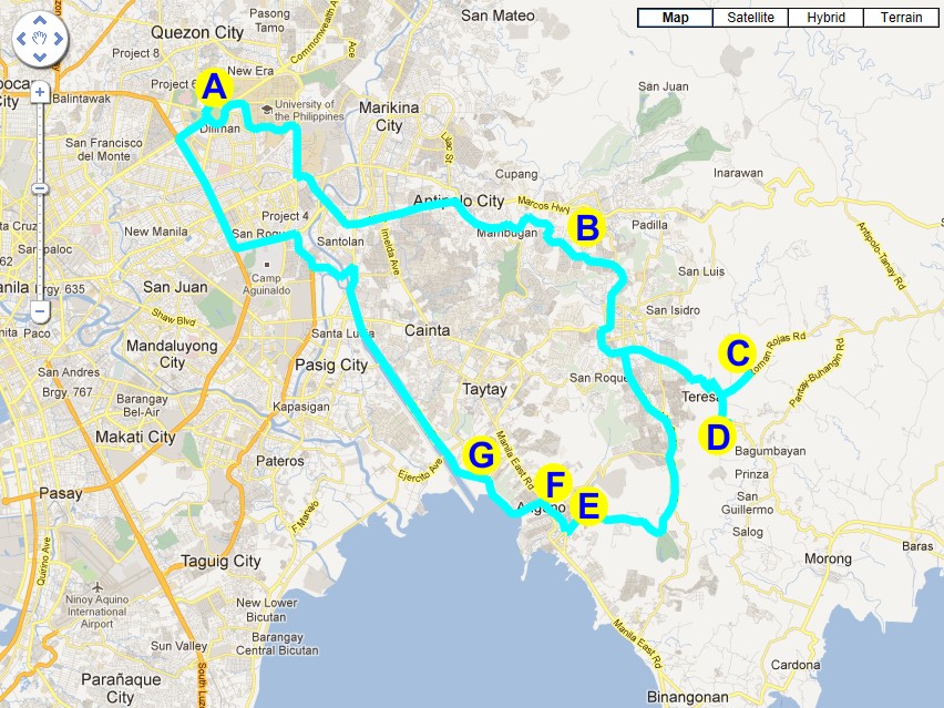
| Stations of Geotour 2: |
|
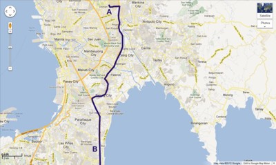
Click the map to enlarge ... |
| |
Station A - Phivolcs Office |
| |
The Philippine Institute of Volcanology and Seismology (PHIVOLCS) is a service institute of the Department of Science and Technology (DOST) that is principally mandated to mitigate disasters that may arise from volcanic eruptions, earthquakes, tsunami and other related geotectonic phenomena. |
| |
|
|
|
| |
|
|
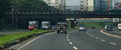
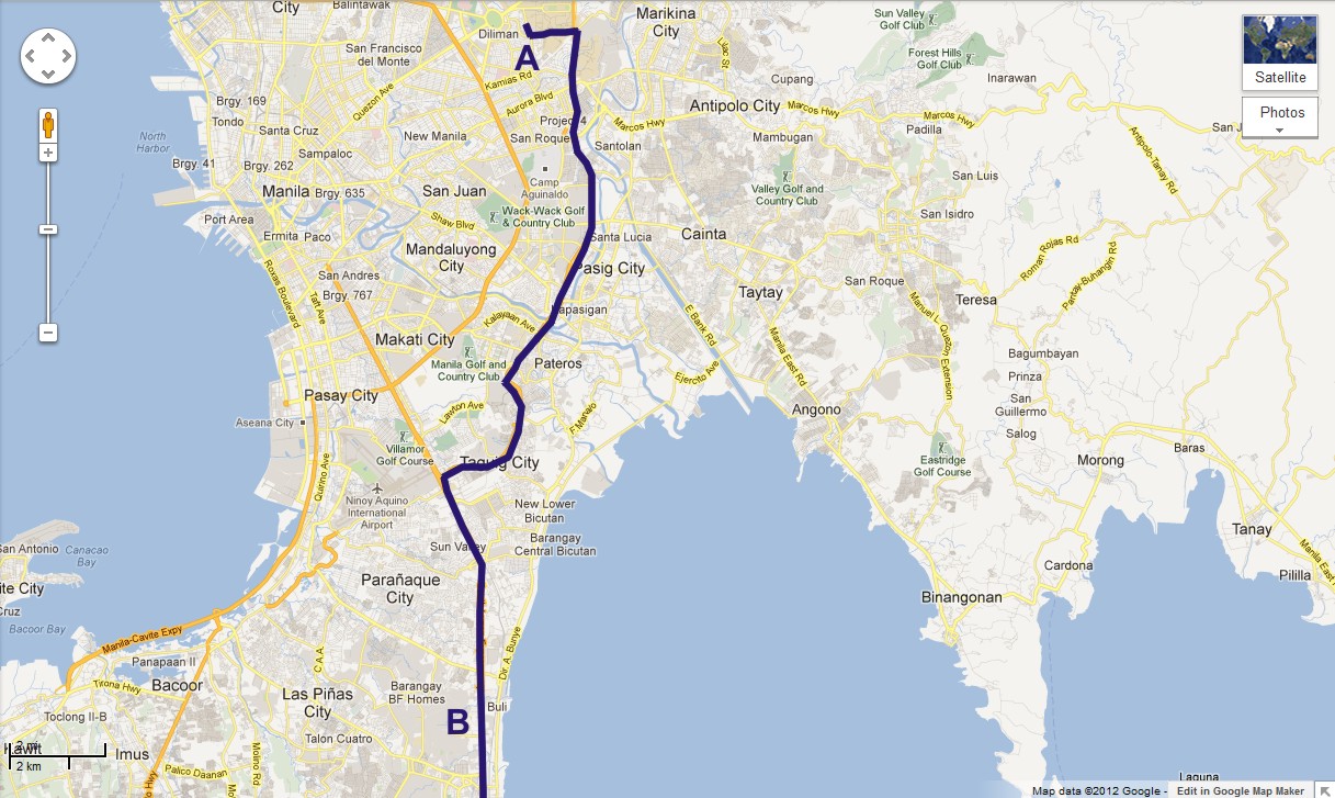
Station B - Along South Luzon Expressway |
|
|
| |
|
|
A bump on the highway between Sucat and Alabang interchange of the South Luzon Expressway is an active fault.
The fault can be observed also along the service road and further towards Paranaque area. |
|
|
| |
|
|
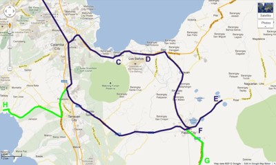
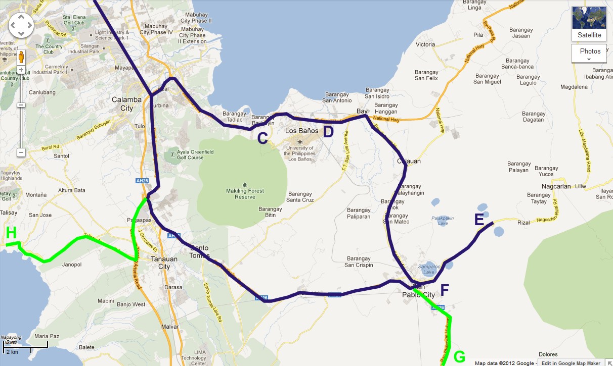
Station C & D - Los Banos |
|
|
| |
|
Click the map to enlarge ... |
A visit to hot springs and mud volcanoes in Los Banos, Laguna will be the itinerary. The area is at the foot of various inactive volcanic features. |
|
 |
 |
|
 |
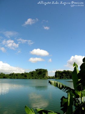
| Alligator Lake |
|
Mount Makulot |
| |
|
|
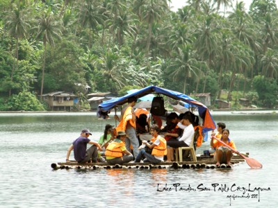
Station E - Seven Lakes |
|
|
| |
|
|
The seven lakes of San Pablo City arelow-profile volcanic craters or maars located in the San Pablo Volcanic Field. They are among the 200 small monogenetic volcanoes found along the Macolod Corridor, a rift zone between Mount Makiling and Mount Banahaw. These craters are formed by phreatomagmatic eruptions which is an eruption where ground water comes in contact with hot magma pushing up near the Earth's surface. |
| |
|
|
 |
|
 |
| |
|
|
| |
|
|
